Computer Analysis of Architecture Using Automatic Image Understanding
Paper and Code
Oct 17, 2018


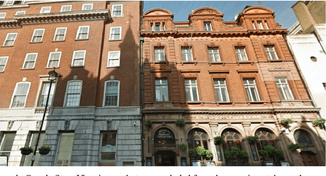
In the past few years, computer vision and pattern recognition systems have been becoming increasingly more powerful, expanding the range of automatic tasks enabled by machine vision. Here we show that computer analysis of building images can perform quantitative analysis of architecture, and quantify similarities between city architectural styles in a quantitative fashion. Images of buildings from 18 cities and three countries were acquired using Google StreetView, and were used to train a machine vision system to automatically identify the location of the imaged building based on the image visual content. Experimental results show that the automatic computer analysis can automatically identify the geographical location of the StreetView image. More importantly, the algorithm was able to group the cities and countries and provide a phylogeny of the similarities between architectural styles as captured by StreetView images. These results demonstrate that computer vision and pattern recognition algorithms can perform the complex cognitive task of analyzing images of buildings, and can be used to measure and quantify visual similarities and differences between different styles of architectures. This experiment provides a new paradigm for studying architecture, based on a quantitative approach that can enhance the traditional manual observation and analysis. The source code used for the analysis is open and publicly available.
 Add to Chrome
 Add to Firefox
 Add to Edge