Autonomous Exploration, Reconstruction, and Surveillance of 3D Environments Aided by Deep Learning
Paper and Code
Sep 17, 2018


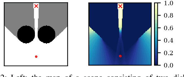
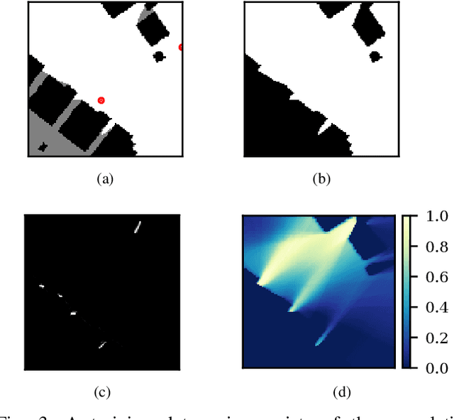
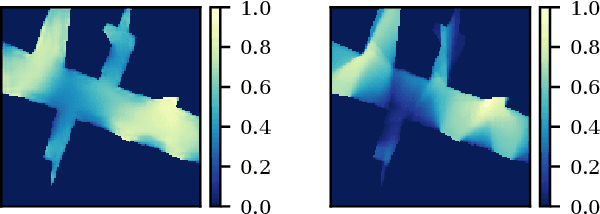
We study the problem of visibility-based exploration, reconstruction and surveillance in the context of supervised learning. Using a level set representation of data and information, we train a convolutional neural network to determine vantage points that maximize visibility. We show that this method drastically reduces the on-line computational cost and determines a small set of vantage points that solve the problem. This enables us to efficiently produce highly-resolved and topologically accurate maps of complex 3D environments. We present realistic simulations on 2D and 3D urban environments.
 Add to Chrome
 Add to Firefox
 Add to Edge