A multiagent urban traffic simulation Part I: dealing with the ordinary
Paper and Code
Sep 05, 2009


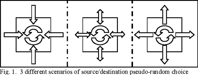
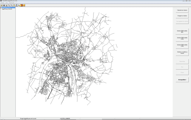
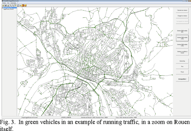
We describe in this article a multiagent urban traffic simulation, as we believe individual-based modeling is necessary to encompass the complex influence the actions of an individual vehicle can have on the overall flow of vehicles. We first describe how we build a graph description of the network from purely geometric data, ESRI shapefiles. We then explain how we include traffic related data to this graph. We go on after that with the model of the vehicle agents: origin and destination, driving behavior, multiple lanes, crossroads, and interactions with the other vehicles in day-to-day, ?ordinary? traffic. We conclude with the presentation of the resulting simulation of this model on the Rouen agglomeration.
* ICCSA 2009, France (2009)
 Add to Chrome
 Add to Firefox
 Add to Edge