A data set of aerial imagery from robotics simulator for map-based localization systems benchmark
Paper and Code
Oct 28, 2019


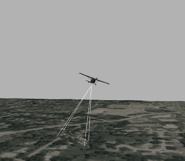
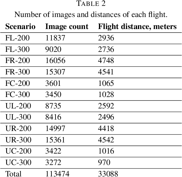
Purpose: This paper presents a new dataset of Aerial Imagery from Robotics simulator (abbr. AIR). AIR dataset aims to provide a starting point for localization system development and to become a typical benchmark for accuracy comparison of map-based localization algorithms, visual odometry, and SLAM for high altitude flights. Design/methodology/approach: The presented dataset contains over 100 thousand aerial images captured from Gazebo robotics simulator using orthophoto maps as a ground plane. Flights with 3 different trajectories are performed on maps from urban and forest environment at different altitudes, totaling over 33 kilometers of flight distance. Findings: The review of previous researches shows, that the presented dataset is the largest currently available public dataset with downward facing camera imagery. Originality/value: This paper presents the problem of missing publicly available datasets for high altitude (100--3000 meters) UAV flights, the current state-of-the-art researches performed to develop map-based localization system for UAVs, depend on real-life test flights and custom simulated datasets for accuracy evaluation of the algorithms. The presented new dataset solves this problem and aims to help the researchers to improve and benchmark new algorithms for high-altitude flights.
 Add to Chrome
 Add to Firefox
 Add to Edge