R. L. Curier
Monitoring spatial sustainable development: Semi-automated analysis of satellite and aerial images for energy transition and sustainability indicators
Oct 11, 2018


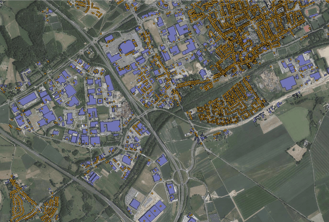
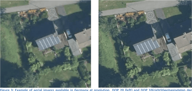
Abstract:Solar panels are installed by a large and growing number of households due to the convenience of having cheap and renewable energy to power house appliances. In contrast to other energy sources solar installations are distributed very decentralized and spread over hundred-thousands of locations. On a global level more than 25% of solar photovoltaic (PV) installations were decentralized. The effect of the quick energy transition from a carbon based economy to a green economy is though still very difficult to quantify. As a matter of fact the quick adoption of solar panels by households is difficult to track, with local registries that miss a large number of the newly built solar panels. This makes the task of assessing the impact of renewable energies an impossible task. Although models of the output of a region exist, they are often black box estimations. This project's aim is twofold: First automate the process to extract the location of solar panels from aerial or satellite images and second, produce a map of solar panels along with statistics on the number of solar panels. Further, this project takes place in a wider framework which investigates how official statistics can benefit from new digital data sources. At project completion, a method for detecting solar panels from aerial images via machine learning will be developed and the methodology initially developed for BE, DE and NL will be standardized for application to other EU countries. In practice, machine learning techniques are used to identify solar panels in satellite and aerial images for the province of Limburg (NL), Flanders (BE) and North Rhine-Westphalia (DE).
 Add to Chrome
 Add to Firefox
 Add to Edge