Nazmul Hasan
Machine Learning-based Layer-wise Detection of Overheating Anomaly in LPBF using Photodiode Data
Mar 20, 2024Abstract:Overheating anomaly detection is essential for the quality and reliability of parts produced by laser powder bed fusion (LPBF) additive manufacturing (AM). In this research, we focus on the detection of overheating anomalies using photodiode sensor data. Photodiode sensors can collect high-frequency data from the melt pool, reflecting the process dynamics and thermal history. Hence, the proposed method offers a machine learning (ML) framework to utilize photodiode sensor data for layer-wise detection of overheating anomalies. In doing so, three sets of features are extracted from the raw photodiode data: MSMM (mean, standard deviation, median, maximum), MSQ (mean, standard deviation, quartiles), and MSD (mean, standard deviation, deciles). These three datasets are used to train several ML classifiers. Cost-sensitive learning is used to handle the class imbalance between the "anomalous" layers (affected by overheating) and "nominal" layers in the benchmark dataset. To boost detection accuracy, our proposed ML framework involves utilizing the majority voting ensemble (MVE) approach. The proposed method is demonstrated using a case study including an open benchmark dataset of photodiode measurements from an LPBF specimen with deliberate overheating anomalies at some layers. The results from the case study demonstrate that the MSD features yield the best performance for all classifiers, and the MVE classifier (with a mean F1-score of 0.8654) surpasses the individual ML classifiers. Moreover, our machine learning methodology achieves superior results (9.66% improvement in mean F1-score) in detecting layer-wise overheating anomalies, surpassing the existing methods in the literature that use the same benchmark dataset.
Investigation of Minerals Using Hyperspectral Satellite Imagery in Bangladesh
Dec 08, 2022


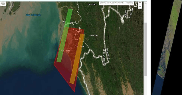
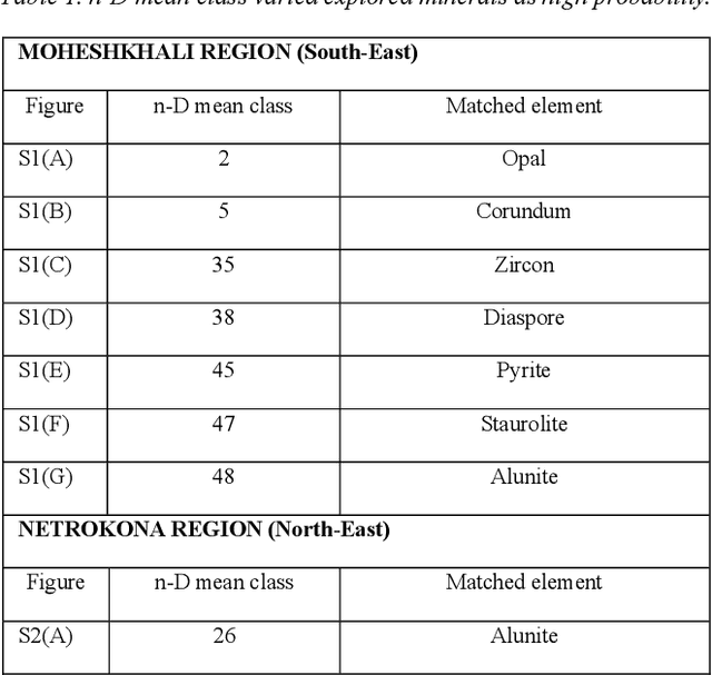
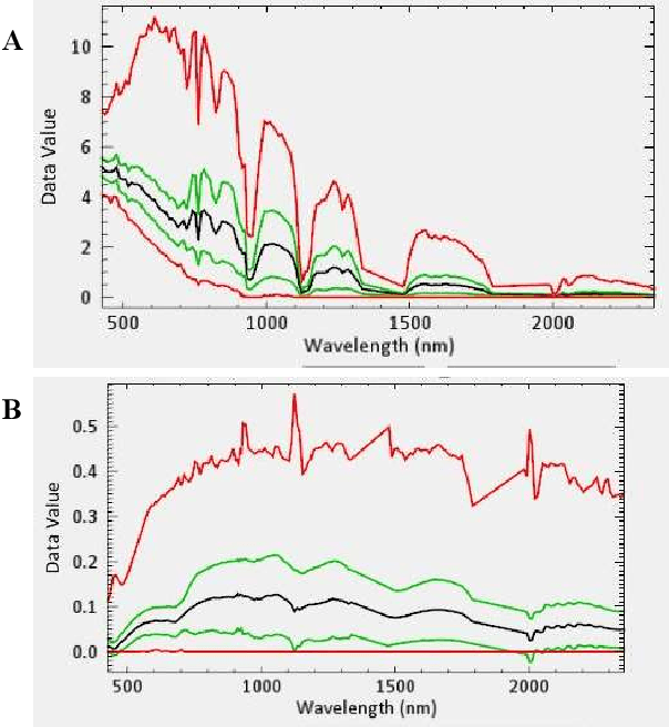
Abstract:Mineral identification using remote sensing technologies is becoming more dominant in this field since it saves time by demonstrating a more effective way for land resources survey. In such remote sensing technologies, hyperspectral remote sensing (HSRS) technology has increased gradually for its efficient manner. This technology is usually used from an airborne platform, i.e., satellite. Hence, satellite imagery remote sensing technology is now more capable of providing accuracy in mineral identification, and mapping. Hyperspectral satellite imagery can identify minerals more accurately compared to traditional technologies in remote sensing by constructing a complete reflectance of the spectrum from each pixel with its advanced imaging sensor. Bangladesh is a developing country with an area of 1,50,000 square kilometers located in Southeast Asia. Though it is a small country, it is enriched with several mineral resources through rivers, forests, hills, and the Bay of Bengal. In this study, hyperspectral imaging technology is employed on some major identical areas (Maheshkhali, Netrokona, Panchagarh, and Patuakhali) of Bangladesh to identify minerals there. As there are no studies done in Bangladesh using hyperspectral imaging yet, it is a good opportunity to explore the potentiality of HS imagery in this field. In this study, the FLAASH (Fast Line-of-sight Atmospheric Analysis) module with necessary parameter settings is used to filter the data, and finally, mineral identification is done by the spectral matched filtering method. Our investigation resulted in finding some potential minerals in those areas including Stariolite, Diasphore, Zircon, Alunite, Quartz, and so on. This indicates that there still is enormous potential for further exploration of minerals in Bangladesh by Hyperspectral Satellite Imagery.
 Add to Chrome
 Add to Firefox
 Add to Edge