Muhammad Abdul Rahman
Logistics Hub Location Optimization: A K-Means and P-Median Model Hybrid Approach Using Road Network Distances
Aug 18, 2023


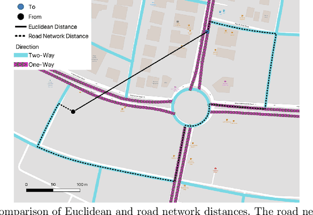
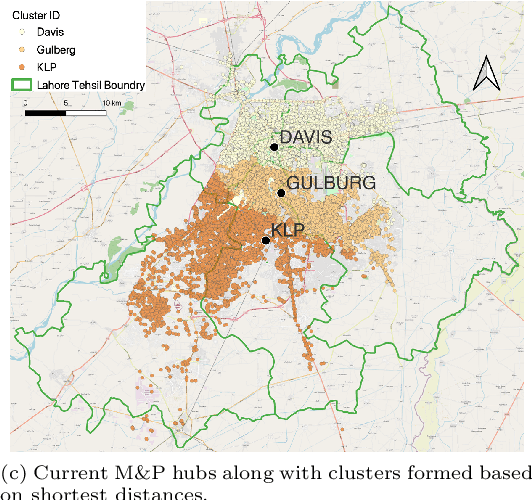
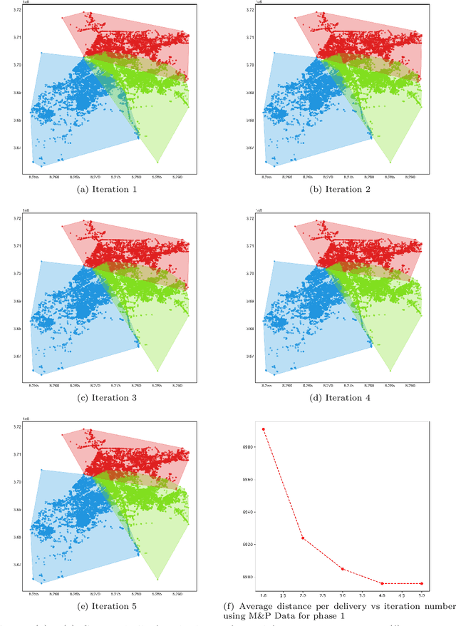
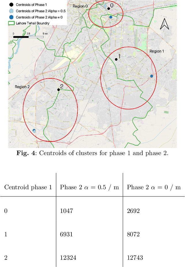
Abstract:Logistic hubs play a pivotal role in the last-mile delivery distance; even a slight increment in distance negatively impacts the business of the e-commerce industry while also increasing its carbon footprint. The growth of this industry, particularly after Covid-19, has further intensified the need for optimized allocation of resources in an urban environment. In this study, we use a hybrid approach to optimize the placement of logistic hubs. The approach sequentially employs different techniques. Initially, delivery points are clustered using K-Means in relation to their spatial locations. The clustering method utilizes road network distances as opposed to Euclidean distances. Non-road network-based approaches have been avoided since they lead to erroneous and misleading results. Finally, hubs are located using the P-Median method. The P-Median method also incorporates the number of deliveries and population as weights. Real-world delivery data from Muller and Phipps (M&P) is used to demonstrate the effectiveness of the approach. Serving deliveries from the optimal hub locations results in the saving of 815 (10%) meters per delivery.
PD-SEG: Population Disaggregation Using Deep Segmentation Networks For Improved Built Settlement Mask
Jul 29, 2023


Abstract:Any policy-level decision-making procedure and academic research involving the optimum use of resources for development and planning initiatives depends on accurate population density statistics. The current cutting-edge datasets offered by WorldPop and Meta do not succeed in achieving this aim for developing nations like Pakistan; the inputs to their algorithms provide flawed estimates that fail to capture the spatial and land-use dynamics. In order to precisely estimate population counts at a resolution of 30 meters by 30 meters, we use an accurate built settlement mask obtained using deep segmentation networks and satellite imagery. The Points of Interest (POI) data is also used to exclude non-residential areas.
 Add to Chrome
 Add to Firefox
 Add to Edge