K. Naveen Kumar
Defining Traffic States using Spatio-temporal Traffic Graphs
Jul 27, 2020


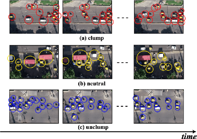
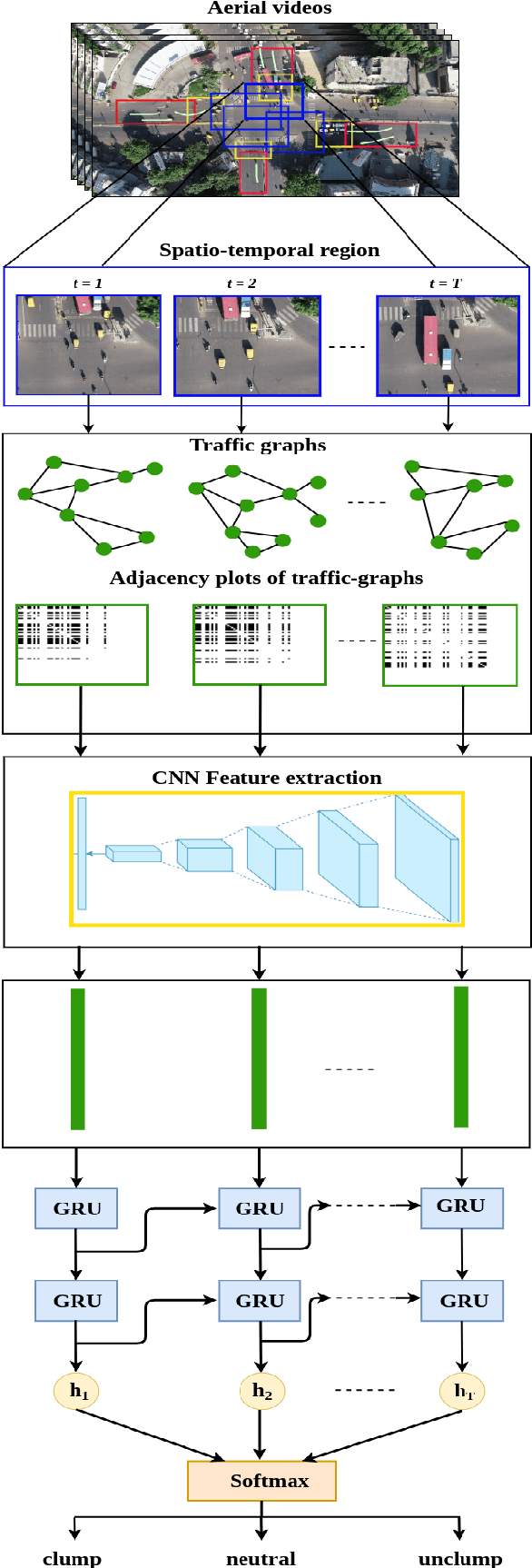
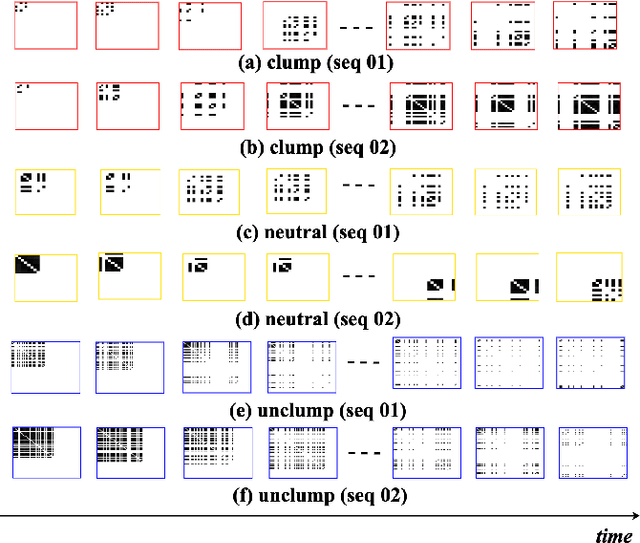
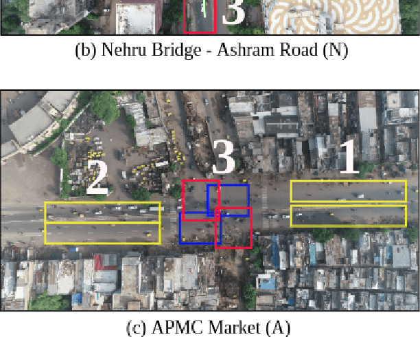
Abstract:Intersections are one of the main sources of congestion and hence, it is important to understand traffic behavior at intersections. Particularly, in developing countries with high vehicle density, mixed traffic type, and lane-less driving behavior, it is difficult to distinguish between congested and normal traffic behavior. In this work, we propose a way to understand the traffic state of smaller spatial regions at intersections using traffic graphs. The way these traffic graphs evolve over time reveals different traffic states - a) a congestion is forming (clumping), the congestion is dispersing (unclumping), or c) the traffic is flowing normally (neutral). We train a spatio-temporal deep network to identify these changes. Also, we introduce a large dataset called EyeonTraffic (EoT) containing 3 hours of aerial videos collected at 3 busy intersections in Ahmedabad, India. Our experiments on the EoT dataset show that the traffic graphs can help in correctly identifying congestion-prone behavior in different spatial regions of an intersection.
 Add to Chrome
 Add to Firefox
 Add to Edge