Jaan Praks
Wide-Area Land Cover Mapping with Sentinel-1 Imagery using Deep Learning Semantic Segmentation Models
Dec 11, 2019


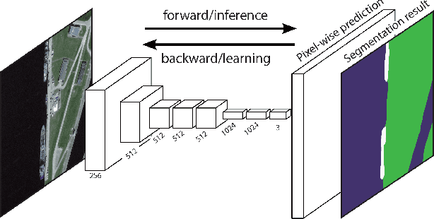
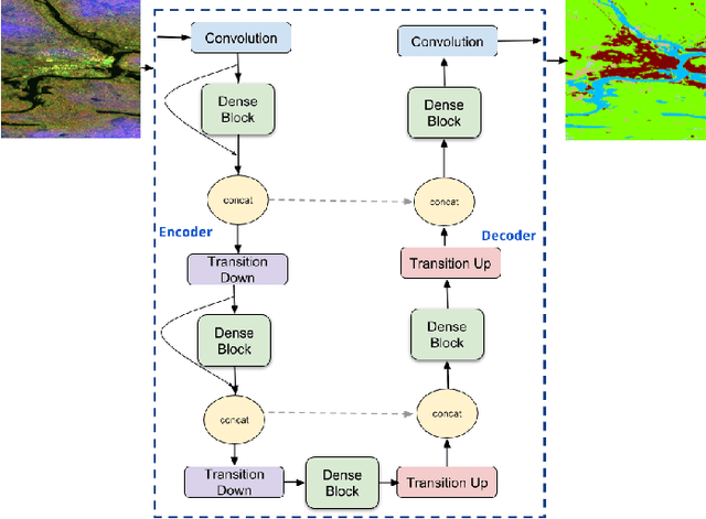
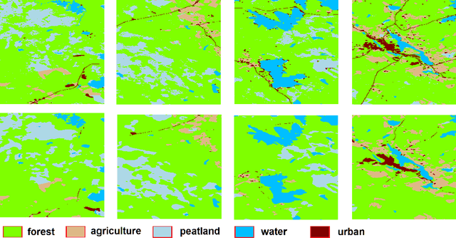
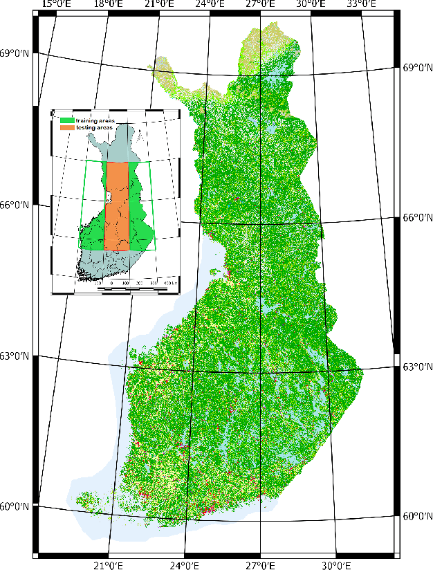
Abstract:Land cover mapping and monitoring are essential for understanding the environment and the effects of human activities on it. The automatic approaches to land cover mapping are predominantly based on the traditional machine learning that requires heuristic feature design. Such approaches are relatively slow and often suitable only for a particular type of satellite sensor or geographical area. Recently, deep learning has outperformed traditional machine learning approaches on a range of image processing tasks including image classification and segmentation. In this study, we demonstrated the suitability of deep learning models for wide-area land cover mapping using satellite C-band SAR images. We used a set of 14 ESA Sentinel-1 scenes acquired during the summer season in Finland representative of the land cover in the country. These imageries were used as an input to seven state-of-the-art deep-learning models for semantic segmentation, namely U-Net, DeepLabV3+, PSPNet, BiSeNet, SegNet, FC-DenseNet, and FRRN-B. These models were pre-trained on the ImageNet dataset and further fine-tuned in this study. CORINE land cover map produced by the Finnish Environment Institute was used as a reference, and the models were trained to distinguish between 5 Level-1 CORINE classes. Upon the evaluation and benchmarking, we found that all the models demonstrated solid performance, with the top FC-DenseNet model achieving an overall accuracy of 90.7%. These results indicate the suitability of deep learning methods to support efficient wide-area mapping using satellite SAR imagery.
 Add to Chrome
 Add to Firefox
 Add to Edge