 Add to Chrome
 Add to Firefox
 Add to Edge
A review of laser scanning for geological and geotechnical applications in underground mining
Nov 21, 2022Laser scanning can provide timely assessments of mine sites despite adverse challenges in the operational environment. Although there are several published articles on laser scanning, there is a need to review them in the context of underground mining applications. To this end, a holistic review of laser scanning is presented including progress in 3D scanning systems, data capture/processing techniques and primary applications in underground mines. Laser scanning technology has advanced significantly in terms of mobility and mapping, but there are constraints in coherent and consistent data collection at certain mines due to feature deficiency, dynamics, and environmental influences such as dust and water. Studies suggest that laser scanning has matured over the years for change detection, clearance measurements and structure mapping applications. However, there is scope for improvements in lithology identification, surface parameter measurements, logistic tracking and autonomous navigation. Laser scanning has the potential to provide real-time solutions but the lack of infrastructure in underground mines for data transfer, geodetic networking and processing capacity remain limiting factors. Nevertheless, laser scanners are becoming an integral part of mine automation thanks to their affordability, accuracy and mobility, which should support their widespread usage in years to come.
Three dimensional unique identifier based automated georeferencing and coregistration of point clouds in underground environment
Feb 22, 2021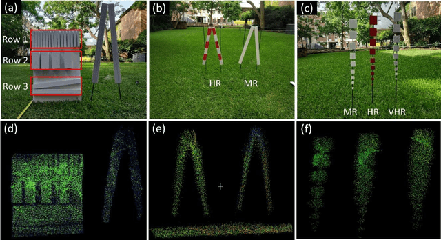


Spatially and geometrically accurate laser scans are essential in modelling infrastructure for applications in civil, mining and transportation. Monitoring of underground or indoor environments such as mines or tunnels is challenging due to unavailability of a sensor positioning framework, complicated structurally symmetric layouts, repetitive features and occlusions. Current practices largely include a manual selection of discernable reference points for georeferencing and coregistration purpose. This study aims at overcoming these practical challenges in underground or indoor laser scanning. The developed approach involves automatically and uniquely identifiable three dimensional unique identifiers (3DUIDs) in laser scans, and a 3D registration (3DReG) workflow. Field testing of the method in an underground tunnel has been found accurate, effective and efficient. Additionally, a method for automatically extracting roadway tunnel profile has been exhibited. The developed 3DUID can be used in roadway profile extraction, guided automation, sensor calibration, reference targets for routine survey and deformation monitoring.