Adrien Hadj Salah
High performance Lunar landing simulations
Sep 17, 2024


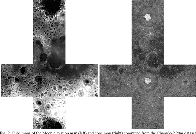
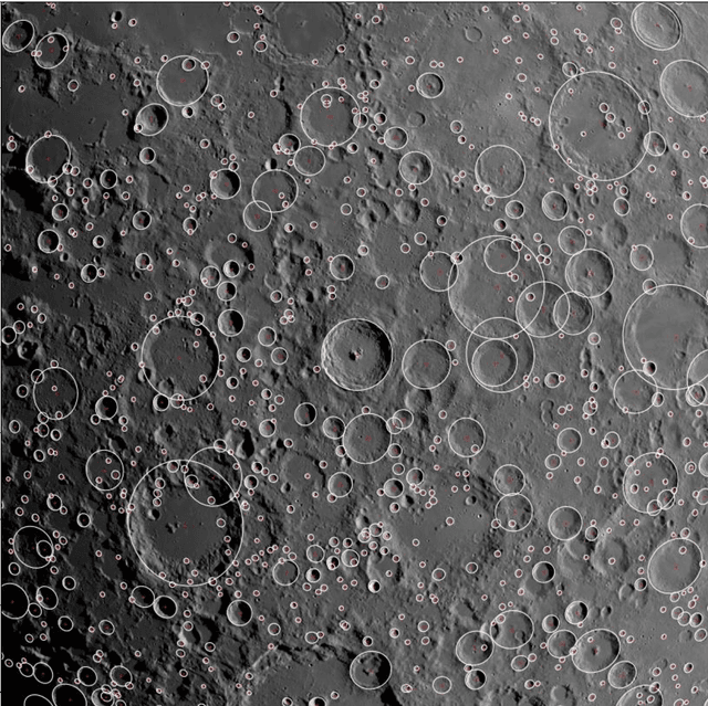
Abstract:Autonomous precision navigation to land onto the Moon relies on vision sensors. Computer vision algorithms are designed, trained and tested using synthetic simulations. High quality terrain models have been produced by Moon orbiters developed by several nations, with resolutions ranging from tens or hundreds of meters globally down to few meters locally. The SurRender software is a powerful simulator able to exploit the full potential of these datasets in raytracing. New interfaces include tools to fuse multi-resolution DEMs and procedural texture generation. A global model of the Moon at 20m resolution was integrated representing several terabytes of data which SurRender can render continuously and in real-time. This simulator will be a precious asset for the development of future missions.
Image simulation for space applications with the SurRender software
Jun 21, 2021


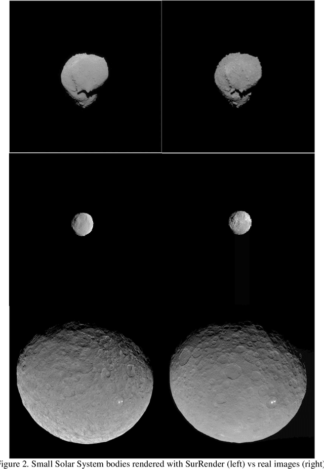
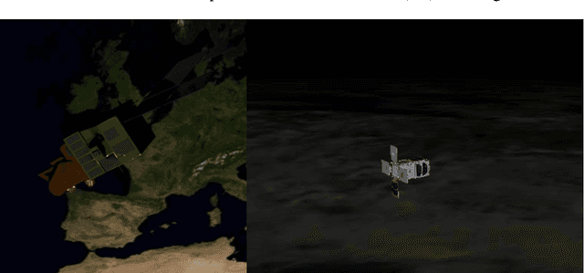
Abstract:Image Processing algorithms for vision-based navigation require reliable image simulation capacities. In this paper we explain why traditional rendering engines may present limitations that are potentially critical for space applications. We introduce Airbus SurRender software v7 and provide details on features that make it a very powerful space image simulator. We show how SurRender is at the heart of the development processes of our computer vision solutions and we provide a series of illustrations of rendered images for various use cases ranging from Moon and Solar System exploration, to in orbit rendezvous and planetary robotics.
 Add to Chrome
 Add to Firefox
 Add to Edge