Uncovering the Spread of Chagas Disease in Argentina and Mexico
Paper and Code
Aug 09, 2018

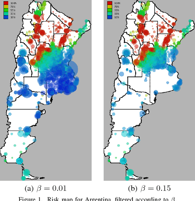
Chagas disease is a neglected disease, and information about its geographical spread is very scarse. We analyze here mobility and calling patterns in order to identify potential risk zones for the disease, by using public health information and mobile phone records. Geolocalized call records are rich in social and mobility information, which can be used to infer whether an individual has lived in an endemic area. We present two case studies in Latin American countries. Our objective is to generate risk maps which can be used by public health campaign managers to prioritize detection campaigns and target specific areas. Finally, we analyze the value of mobile phone data to infer long-term migrations, which play a crucial role in the geographical spread of Chagas disease.
 Add to Chrome
 Add to Firefox
 Add to Edge