Spatial Acoustic Projection for 3D Imaging Sonar Reconstruction
Paper and Code
Jun 06, 2022


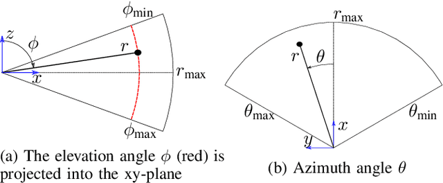
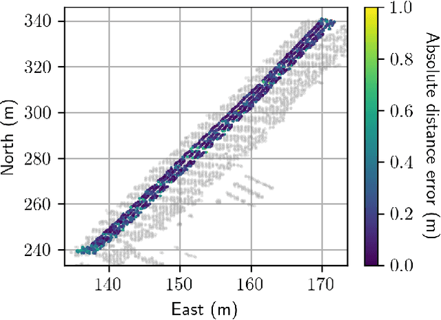
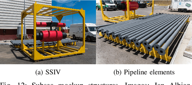
In this work we present a novel method for reconstructing 3D surfaces using a multi-beam imaging sonar. We integrate the intensities measured by the sonar from different viewpoints for fixed cell positions in a 3D grid. For each cell we integrate a feature vector that holds the mean intensity for a discretized range of viewpoints. Based on the feature vectors and independent sparse range measurements that act as ground truth information, we train convolutional neural networks that allow us to predict the signed distance and direction to the nearest surface for each cell. The predicted signed distances can be projected into a truncated signed distance field (TSDF) along the predicted directions. Utilizing the marching cubes algorithm, a polygon mesh can be rendered from the TSDF. Our method allows a dense 3D reconstruction from a limited set of viewpoints and was evaluated on three real-world datasets.
 Add to Chrome
 Add to Firefox
 Add to Edge