Metric Map Merging using RFID Tags & Topological Information
Paper and Code
Nov 17, 2017


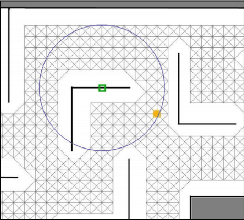
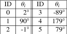
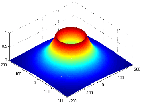
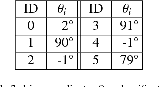
A map merging component is crucial for the proper functionality of a multi-robot system performing exploration, since it provides the means to integrate and distribute the most important information carried by the agents: the explored-covered space and its exact (depending on the SLAM accuracy) morphology. Map merging is a prerequisite for an intelligent multi-robot team aiming to deploy a smart exploration technique. In the current work, a metric map merging approach based on environmental information is proposed, in conjunction with spatially scattered RFID tags localization. This approach is divided into the following parts: the maps approximate rotation calculation via the obstacles poses and localized RFID tags, the translation employing the best localized common RFID tag and finally the transformation refinement using an ICP algorithm.
 Add to Chrome
 Add to Firefox
 Add to Edge