Large gaps imputation in remote sensed imagery of the environment
Paper and Code
Jun 22, 2010


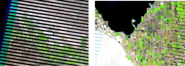
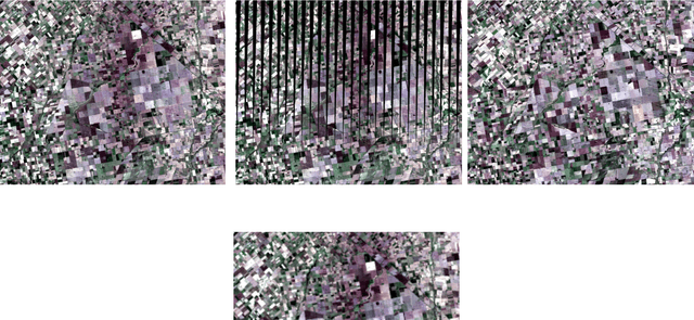
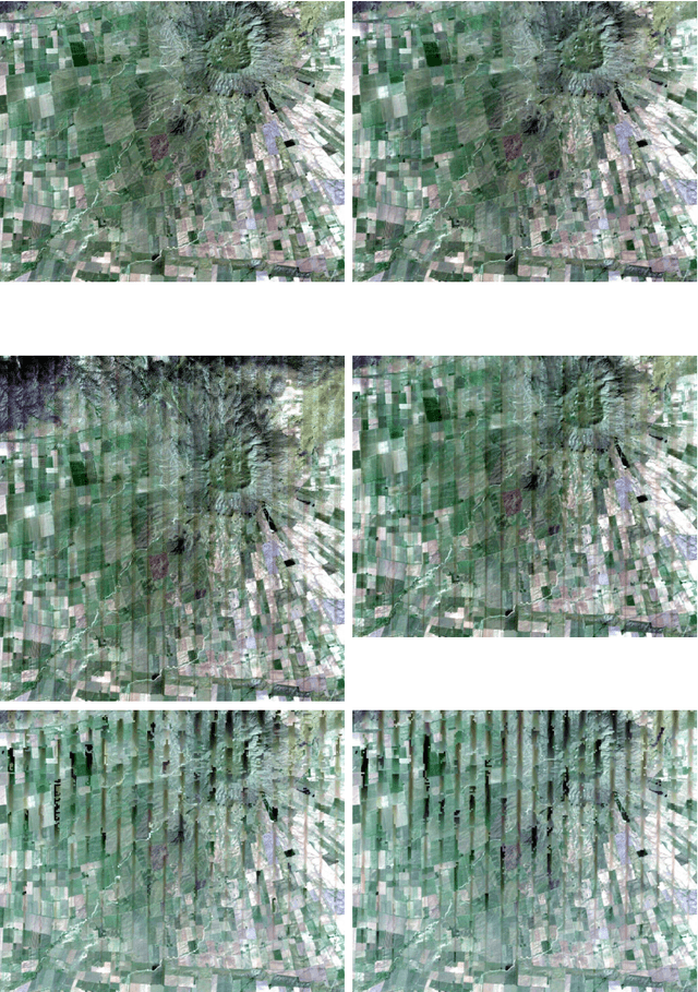
Imputation of missing data in large regions of satellite imagery is necessary when the acquired image has been damaged by shadows due to clouds, or information gaps produced by sensor failure. The general approach for imputation of missing data, that could not be considered missed at random, suggests the use of other available data. Previous work, like local linear histogram matching, take advantage of a co-registered older image obtained by the same sensor, yielding good results in filling homogeneous regions, but poor results if the scenes being combined have radical differences in target radiance due, for example, to the presence of sun glint or snow. This study proposes three different alternatives for filling the data gaps. The first two involves merging radiometric information from a lower resolution image acquired at the same time, in the Fourier domain (Method A), and using linear regression (Method B). The third method consider segmentation as the main target of processing, and propose a method to fill the gaps in the map of classes, avoiding direct imputation (Method C). All the methods were compared by means of a large simulation study, evaluating performance with a multivariate response vector with four measures: Q, RMSE, Kappa and Overall Accuracy coefficients. Difference in performance were tested with a MANOVA mixed model design with two main effects, imputation method and type of lower resolution extra data, and a blocking third factor with a nested sub-factor, introduced by the real Landsat image and the sub-images that were used. Method B proved to be the best for all criteria.
 Add to Chrome
 Add to Firefox
 Add to Edge