Geospatial Transformations for Ground-Based Sky Imaging Systems
Paper and Code
Mar 09, 2021


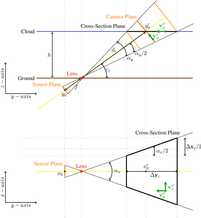
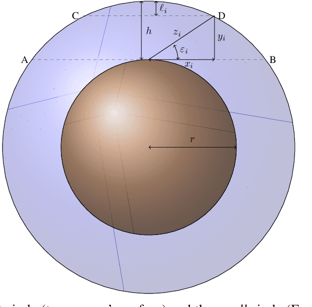
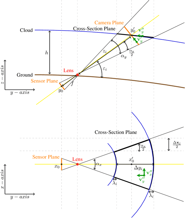
Sky imaging systems use lenses to acquire images concentrating light beams in an imager. The light beams received by the sky imager have an elevation angle with respect to the normal of the device. This produces that the image pixels contain information from different areas of the sky within the imaging system Field Of View (FOV). The area of the field of view contained in the pixels increases as the elevation angle of the incident light beams decreases. When the sky imagers are mounted on a solar tracker incidence angle of the light beam on a pixel varies over time. This investigation introduces a transformation that projects the original euclidean frame of the imager plane to the geospatial frame atmosphere cross-section plane form when the sky imager field of view intersects the tropopause.
 Add to Chrome
 Add to Firefox
 Add to Edge