Embedding Earth: Self-supervised contrastive pre-training for dense land cover classification
Paper and Code
Mar 11, 2022


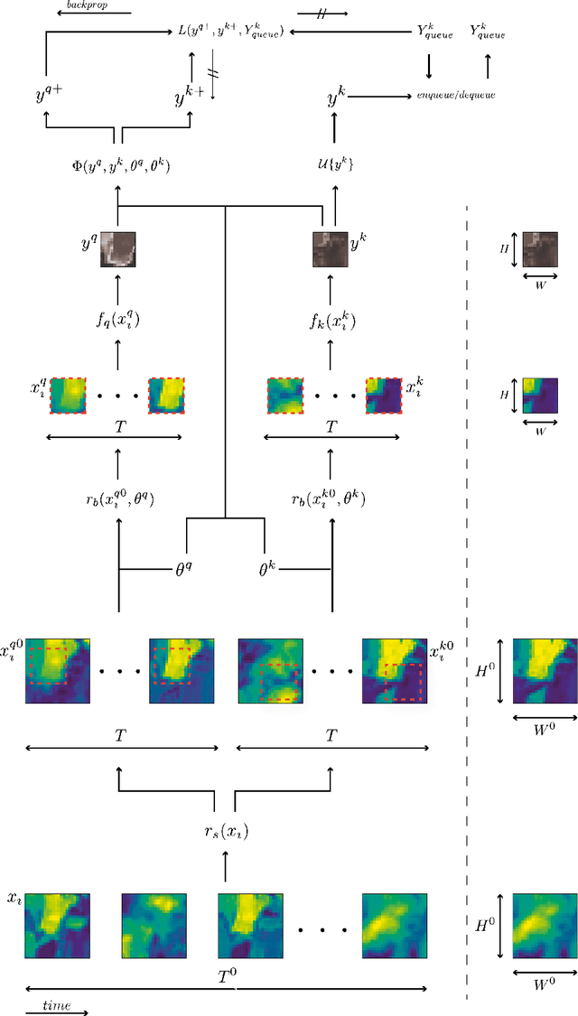
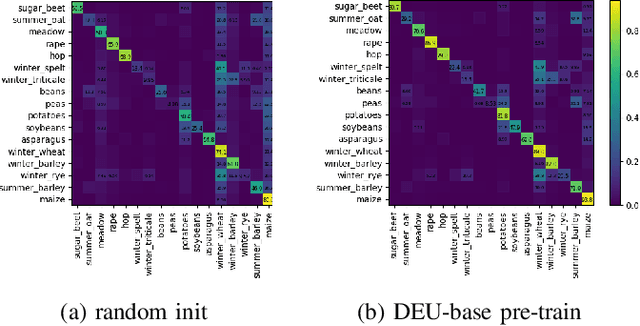
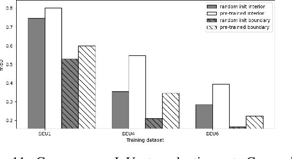
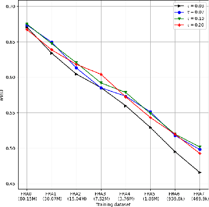
In training machine learning models for land cover semantic segmentation there is a stark contrast between the availability of satellite imagery to be used as inputs and ground truth data to enable supervised learning. While thousands of new satellite images become freely available on a daily basis, getting ground truth data is still very challenging, time consuming and costly. In this paper we present Embedding Earth a self-supervised contrastive pre-training method for leveraging the large availability of satellite imagery to improve performance on downstream dense land cover classification tasks. Performing an extensive experimental evaluation spanning four countries and two continents we use models pre-trained with our proposed method as initialization points for supervised land cover semantic segmentation and observe significant improvements up to 25% absolute mIoU. In every case tested we outperform random initialization, especially so when ground truth data are scarse. Through a series of ablation studies we explore the qualities of the proposed approach and find that learnt features can generalize between disparate regions opening up the possibility of using the proposed pre-training scheme as a replacement to random initialization for Earth observation tasks. Code will be uploaded soon at https://github.com/michaeltrs/DeepSatModels.
 Add to Chrome
 Add to Firefox
 Add to Edge