CrowdWeb: A Visualization Tool for Mobility Patterns in Smart Cities
Paper and Code
May 22, 2023


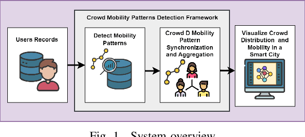
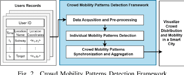
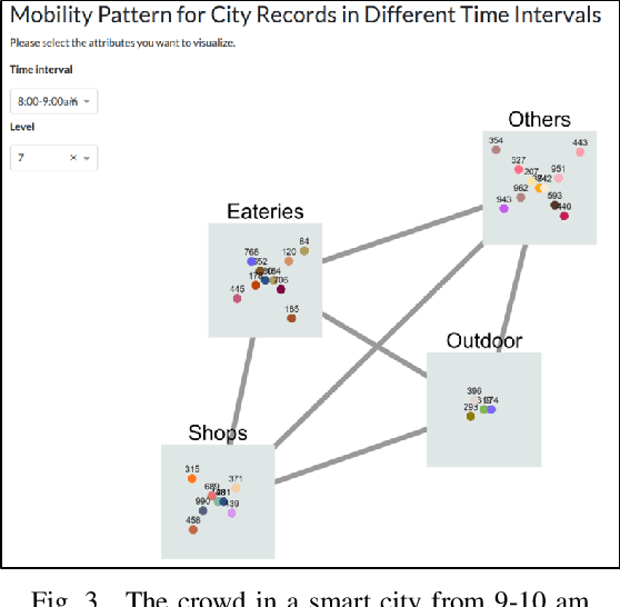
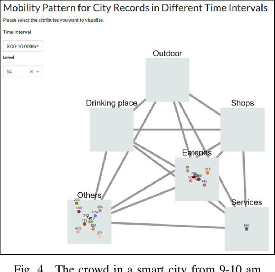
Human mobility patterns refer to the regularities and trends in the way people move, travel, or navigate through different geographical locations over time. Detecting human mobility patterns is essential for a variety of applications, including smart cities, transportation management, and disaster response. The accuracy of current mobility prediction models is less than 25%. The low accuracy is mainly due to the fluid nature of human movement. Typically, humans do not adhere to rigid patterns in their daily activities, making it difficult to identify hidden regularities in their data. To address this issue, we proposed a web platform to visualize human mobility patterns by abstracting the locations into a set of places to detect more realistic patterns. However, the platform was initially designed to detect individual mobility patterns, making it unsuitable for representing the crowd in a smart city scale. Therefore, we extend the platform to visualize the mobility of multiple users from a city-scale perspective. Our platform allows users to visualize a graph of visited places based on their historical records using a modified PrefixSpan approach. Additionally, the platform synchronizes, aggregates, and displays crowd mobility patterns across various time intervals within a smart city. We showcase our platform using a real dataset.
 Add to Chrome
 Add to Firefox
 Add to Edge