Automatic Segmentation of Coronal Holes in Solar Images and Solar Prediction Map Classification
Paper and Code
Jul 20, 2022


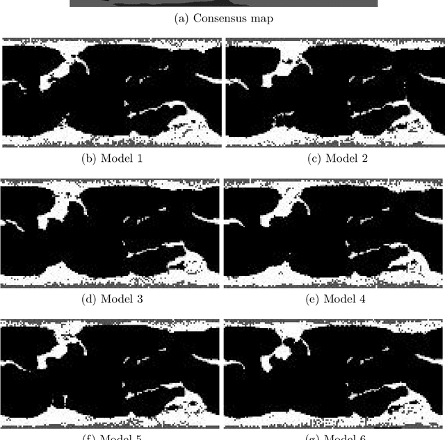
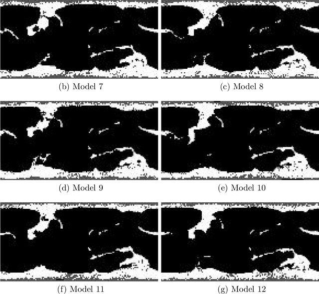
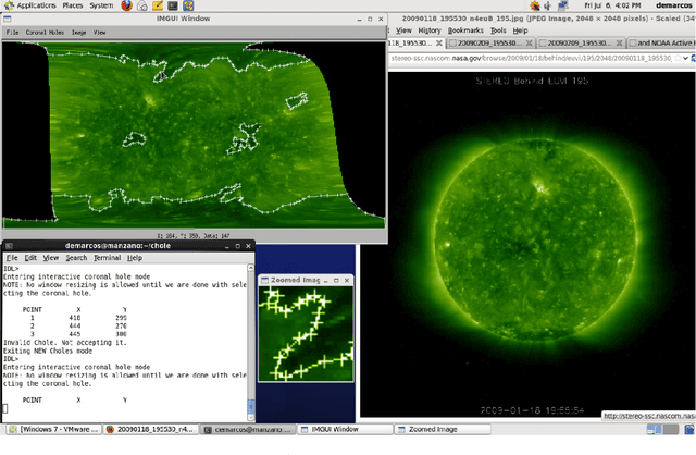
Solar image analysis relies on the detection of coronal holes for predicting disruptions to earth's magnetic field. The coronal holes act as sources of solar wind that can reach the earth. Thus, coronal holes are used in physical models for predicting the evolution of solar wind and its potential for interfering with the earth's magnetic field. Due to inherent uncertainties in the physical models, there is a need for a classification system that can be used to select the physical models that best match the observed coronal holes. The physical model classification problem is decomposed into three subproblems. First, he thesis develops a method for coronal hole segmentation. Second, the thesis develops methods for matching coronal holes from different maps. Third, based on the matching results, the thesis develops a physical map classification system. A level-set segmentation method is used for detecting coronal holes that are observed in extreme ultra-violet images (EUVI) and magnetic field images. For validating the segmentation approach, two independent manual segmentations were combined to produce 46 consensus maps. Overall, the level-set segmentation approach produces significant improvements over current approaches. Physical map classification is based on coronal hole matching between the physical maps and (i) the consensus maps (semi-automated), or (ii) the segmented maps (fully-automated). Based on the matching results, the system uses area differences,shortest distances between matched clusters, number and areas of new and missing coronal hole clusters to classify each map. The results indicate that the automated segmentation and classification system performs better than individual humans.
 Add to Chrome
 Add to Firefox
 Add to Edge