A Probabilistic Approach for Predicting Landslides by Learning a Self-Aligned Deep Convolutional Model
Paper and Code
Nov 12, 2019


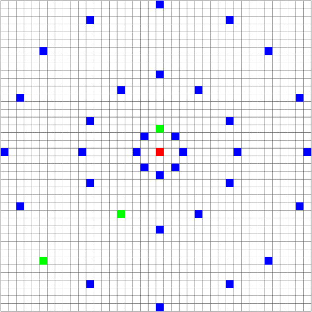
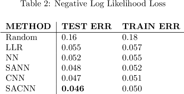
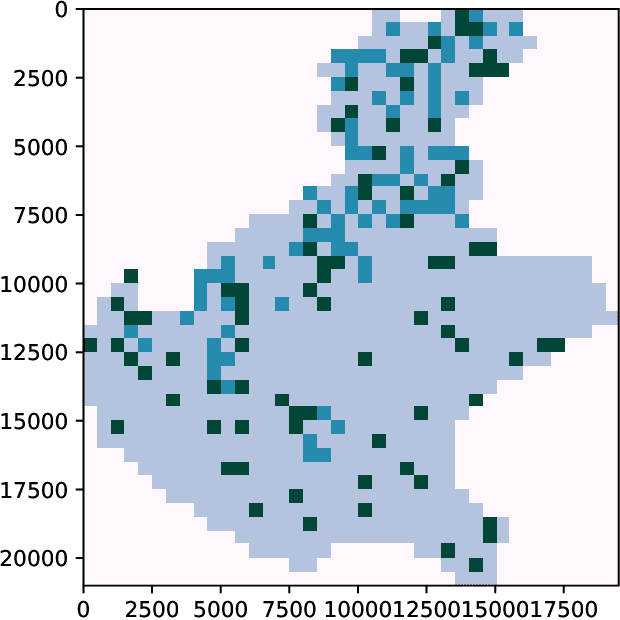
Landslides are movement of soil and rock under the influence of gravity. They are common phenomena that cause significant human and economic losses every year. To reduce the impact of landslides, experts have developed tools to identify areas that are more likely to generate landslides. We propose a novel statistical approach for predicting landslides using deep convolutional networks. Using a standardized dataset of georeferenced images consisting of slope, elevation, land cover, lithology, rock age, and rock family as inputs, we deliver a landslide susceptibility map as output. We call our model a Self-Aligned Convolutional Neural Network, SACNN, as it follows the ground surface at multiple scales to predict possible landslide occurrence for a single point. To validate our method, we compare it to several baselines, including linear regression, a neural network, and a convolutional network, using log-likelihood error and Receiver Operating Characteristic curves on the test set. We show that our model performs better than the other proposed baselines, suggesting that such deep convolutional models are effective in heterogenous datasets for improving landslide susceptibility maps, which has the potential to reduce the human and economic cost of these events.
 Add to Chrome
 Add to Firefox
 Add to Edge