Get our free extension to see links to code for papers anywhere online!Free add-on: code for papers everywhere!Free add-on: See code for papers anywhere!
Zachary Golden
High Definition image classification in Geoscience using Machine Learning
Sep 25, 2020Figures and Tables:


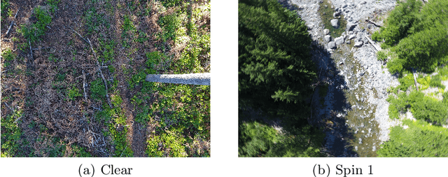
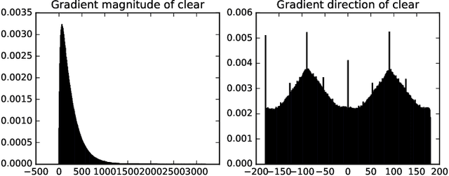
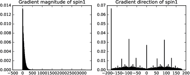
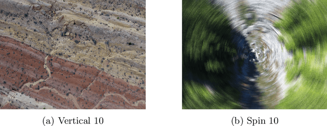
Abstract:High Definition (HD) digital photos taken with drones are widely used in the study of Geoscience. However, blurry images are often taken in collected data, and it takes a lot of time and effort to distinguish clear images from blurry ones. In this work, we apply Machine learning techniques, such as Support Vector Machine (SVM) and Neural Network (NN) to classify HD images in Geoscience as clear and blurry, and therefore automate data cleaning in Geoscience. We compare the results of classification based on features abstracted from several mathematical models. Some of the implementation of our machine learning tool is freely available at: https://github.com/zachgolden/geoai.
* 8 pages, 14 figures
Via
 Add to Chrome
 Add to Firefox
 Add to Edge