Water Level Estimation Using Sentinel-1 Synthetic Aperture Radar Imagery And Digital Elevation Models
Paper and Code
Dec 28, 2020


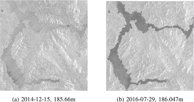
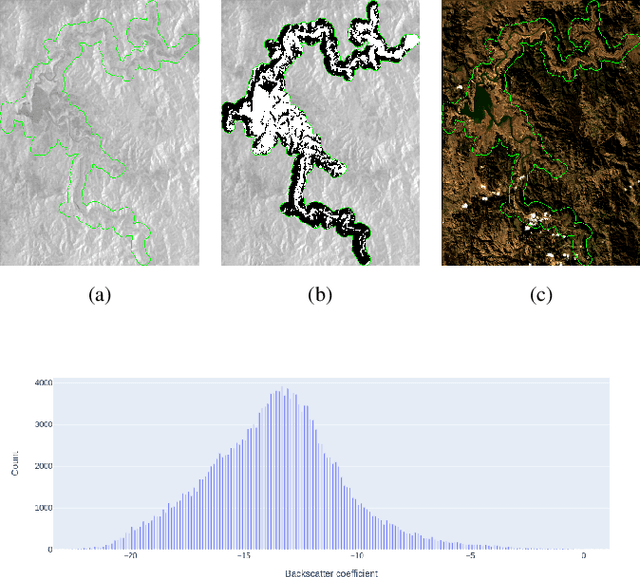
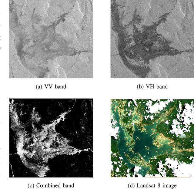
Hydropower dams and reservoirs have been identified as the main factors redefining natural hydrological cycles. Therefore, monitoring water status in reservoirs plays a crucial role in planning and managing water resources, as well as forecasting drought and flood. This task has been traditionally done by installing sensor stations on the ground nearby water bodies, which has multiple disadvantages in maintenance cost, accessibility, and global coverage. And to cope with these problems, Remote Sensing, which is known as the science of obtaining information about objects or areas without making contact with them, has been actively studied for many applications. In this paper, we propose a novel water level extracting approach, which employs Sentinel-1 Synthetic Aperture Radar imagery and Digital Elevation Model data sets. Experiments show that the algorithm achieved a low average error of 0.93 meters over three reservoirs globally, proving its potential to be widely applied and furthermore studied.
 Add to Chrome
 Add to Firefox
 Add to Edge