Grid-Based Projection of Spatial Data into Knowledge Graphs
Paper and Code
Nov 04, 2024


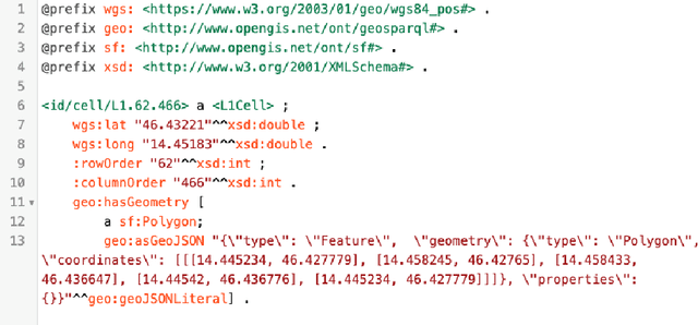
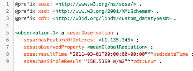
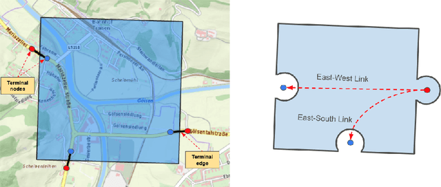
The Spatial Knowledge Graphs (SKG) are experiencing growing adoption as a means to model real-world entities, proving especially invaluable in domains like crisis management and urban planning. Considering that RDF specifications offer limited support for effectively managing spatial information, it's common practice to include text-based serializations of geometrical features, such as polygons and lines, as string literals in knowledge graphs. Consequently, Spatial Knowledge Graphs (SKGs) often rely on geo-enabled RDF Stores capable of parsing, interpreting, and indexing such serializations. In this paper, we leverage grid cells as the foundational element of SKGs and demonstrate how efficiently the spatial characteristics of real-world entities and their attributes can be encoded within knowledge graphs. Furthermore, we introduce a novel methodology for representing street networks in knowledge graphs, diverging from the conventional practice of individually capturing each street segment. Instead, our approach is based on tessellating the street network using grid cells and creating a simplified representation that could be utilized for various routing and navigation tasks, solely relying on RDF specifications.
 Add to Chrome
 Add to Firefox
 Add to Edge