A GIS Data Realistic Road Generation Approach for Traffic Simulation
Paper and Code
Oct 28, 2021


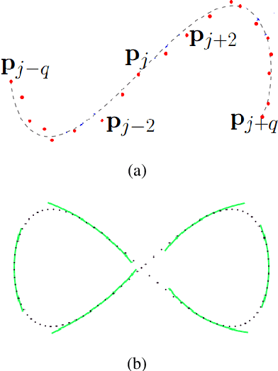
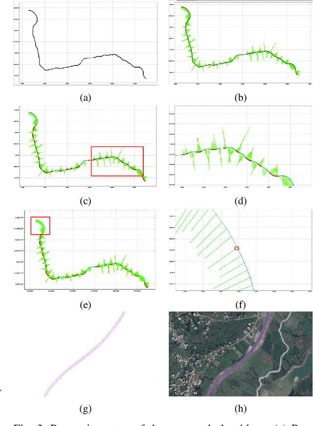
Road networks exist in the form of polylines with attributes within the GIS databases. Such a representation renders the geographic data impracticable for 3D road traffic simulation. In this work, we propose a method to transform raw GIS data into a realistic, operational model for real-time road traffic simulation. For instance, the proposed raw to simulation ready data transformation is achieved through several curvature estimation, interpolation/approximation, and clustering schemes. The obtained results show the performance of our approach and prove its adequacy to real traffic simulation scenario as can be seen in this video 1 .
* In 2019 Federated Conference on Computer Science and Information
Systems (FedCSIS) (pp. 385-390). IEEE (2019) * Accepted in Federated Conference on Computer Science and Information
Systems (FedCSIS)
 Add to Chrome
 Add to Firefox
 Add to Edge